


 25 / 44

23
January 2017
‘This would be very difficult to do,’ he says, referring to the range
of other contaminants such as sewage flow, which also contribute
to the contamination of water resources. Dr Dabrowski suggests
that a possible approach could be to link or prioritise land use
types or activities to endocrine disruptor effects instead of to spe-
cific pollutants.
On a positive note, the detection of pesticides was well predicted
by indices used in the prioritisation procedure in all study areas,
particularly quantity of use and mobility. The frequent detection of
atrazine, terbuthylazine and simazine in maize and sugarcane areas
is undoubtedly a reflection of their high quantity of use as well as
their high mobility in the environment.
Similarly, imidacloprid, which was also highlighted as being highly
mobile in the environment, although not detected as frequently,
was also found in comparatively high concentrations when detect-
ed. Other frequently detected pesticides (for example carbofuran,
diuron and hexazinone) were also well predicted by outputs from
the prioritisation procedure (that is crop-specific use and mobility).
These results indicate that indices of use and mobility are very
useful in terms of prioritising specific pesticides for detailed moni-
toring in study areas of interest.
Moving forward
The pesticide-use maps and supplementary data developed in
this study provide the most detailed overview of pesticide use in
South Africa produced to date. This information can be used to
make national, provincial and catchment-based assessments which
are essential for performing spatial assessments of human and
environmental risk associated with pesticide use. Yet, according
to Dr Dabrowski their application can be much broader, and can
be developed as a prioritisation tool for the monitoring of aquatic
ecosystems that could potentially be at risk. ‘For example, we can
look at where endangered fish species occur in relation to the maps,’
he says.
The team’s work is not over, as there are a number of recommen-
dations that flowed from the study. For example, passive monitor-
ing, which measures contamination over time, could be applied,
in order to include peak pesticide concentrations associated with
certain events.
Though the current project results are of particular use to policy
makers, a follow-up study is in progress to produce products that
can be used by producers. In the meantime, the project results
have been published. All data collected and produced during the
course of this project (including the maps) is available in the reports
or from the CSIR, Natural Resources and Environment in Pretoria.
Get your own copy
To order the reports emanating from this project,
Investigation of
the contamination of water resources by agricultural chemicals and
the impact on environmental health Volume 1: Risk assessment
of agricultural chemicals to human and animal health
(Report No.
1956/1/15) and
Volume 2: Prioritising human health effects and map-
ping sources of agricultural pesticides used in South Africa
(Report
No. TT 642/15) contact Publications at 012 330 0340 or
orders@wrc.org.za
or visit
www.wrc.org.zato download a free copy.
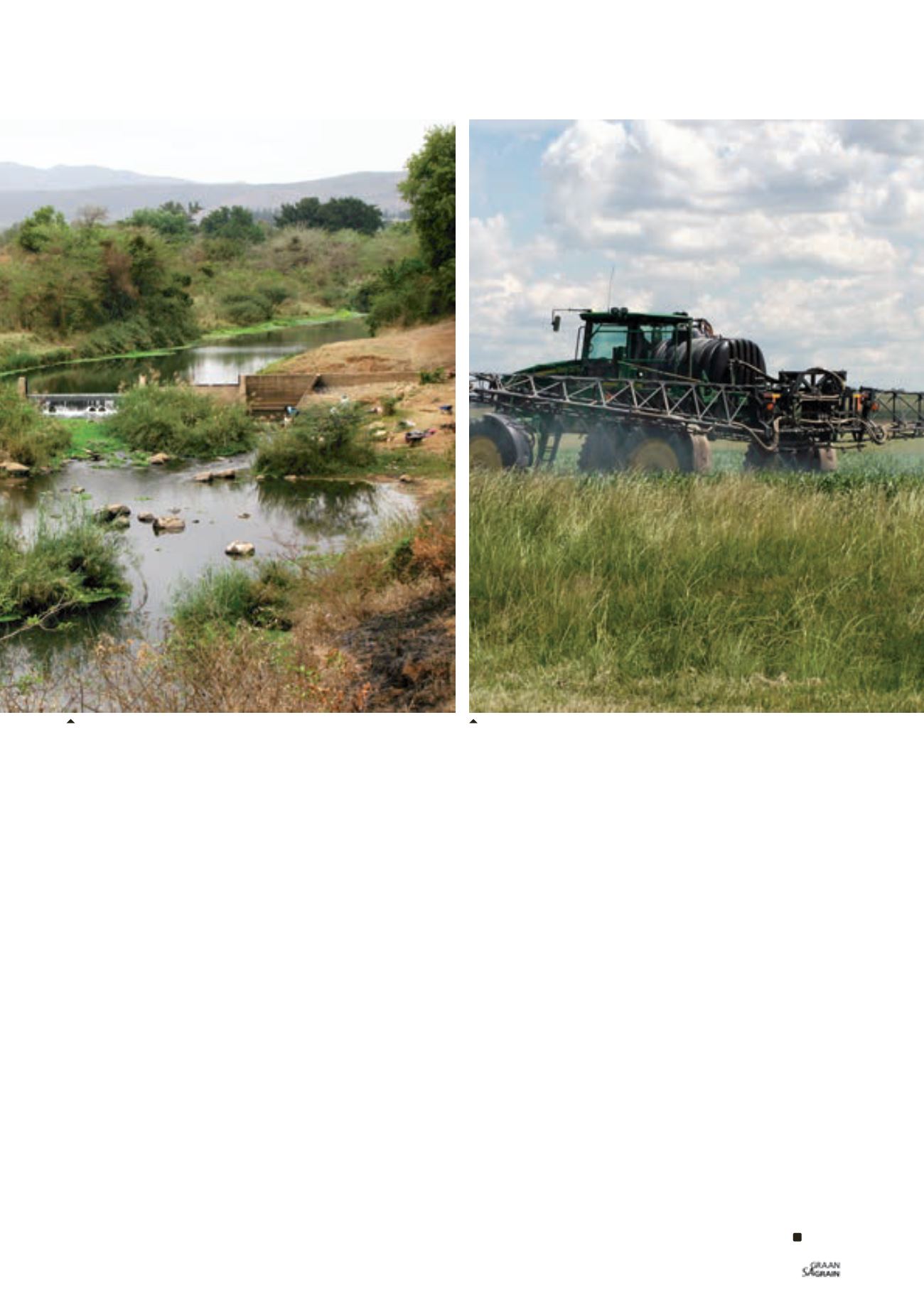
Air sampling and spraying for AGDISP validation.
The Letsitele River, with locals collecting water and doing washing.